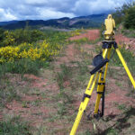
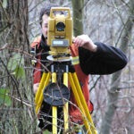
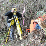
At Ryka Land Services, we have 20+ years of experience in land surveying and we use the most up-to-date equipment and methods. We are located in Seattle and providing surveying to many areas around Washington State, Oregon, Idaho, and Montana.
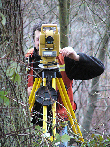
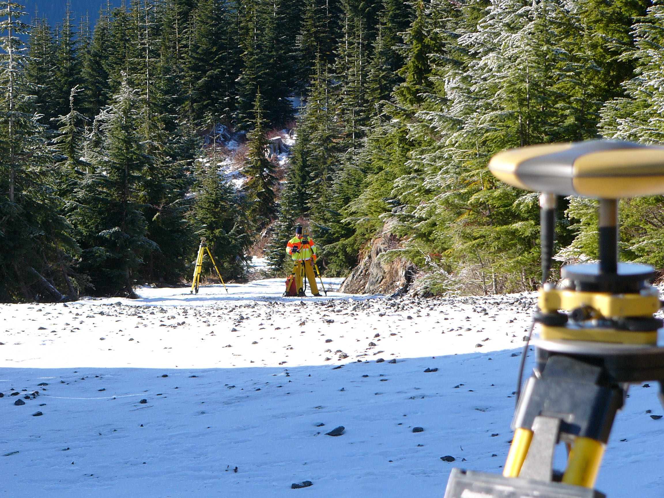
Our licensed land and boundary surveyors are extensively trained to measure the legal property lines to determine the exact locations of real estate and construction boundaries. In addition to Greater Seattle area land surveying, we also offer real estate services such as zoning and permitting, landlord consulting, contract evaluation, and more.
We offer land surveying to the following areas and counties:
- Greater Seattle area land surveyors
- King County land surveyors
- Snohomish County land surveyors
- Pierce County land surveyors
- Eastern Washington
- Montana
- Oregon
- Idaho
And we also provide land surveying in the following cities in Washington: Seattle, Bellevue, Kirkland, Woodinville, Redmond, Renton, Auburn, Tacoma, Everett, Lynnwood, Mill Creek, Issaquah, North Bend, Mercer Island, and more.
Ryka Land Services has offered land surveying to the Greater Seattle area since 2005.
Contact us today to discuss your project: (206) 523-1941
”If you can not measure it, you can not improve it."
Lord Kelvin19th Century Physicist
Land Surveying Services:
- Legal Description (Metes and Bounds)
- Right of Way/Easement Survey and Mapping
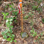
- Tree Location Survey
- Wetland Location Survey
- Settlement Monitoring
- Surveying with Drone Technology
- Building and FEMA Elevation Certification
- Wireless Facility Site Mapping and Appurtenance Inventory
- GPS/GIS Survey
- FAA 1A and 2C Report / Certification
- Construction Staking
- Recorded Document Preparation


SURVEYING SERVICES
BOUNDARY SURVEYS
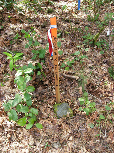
A boundary survey establishes the perimeter of a property as it relates to a site’s legal description. Our licensed surveyor will review recorded documents and do a physical inspection to determine the physical boundary of the site.
ALTA/ACSM SURVEYS
An ALTA/ACSM Survey is a specialized survey that meets the needs specific to title insurance purposes to enable title insurance companies to insure title to land without exceptions as to survey matters.
TOPOGRAPHY & SURFACE FEATURE SURVEYS
A topography and surface feature Survey shows the height, depth, size and location of any manmade or natural features on a given parcel of land, as well as the changes or contours in elevation throughout the parcel.
AS-BUILT SURVEYS
An as-built survey is a record of location of the improvements “as they are built” during construction. The final location of construction improvements such as sewer pipes, buildings, utilities and pavement can be different than the original design location.
WE ALSO OFFER:
Building and FEMA Elevation Certification
Wireless Facility Site Mapping and Appurtenance Inventory
GPS/GIS Survey
FAA 1A and 2C Report / Certification
Construction Staking
Recorded Document Preparation
Legal Description (Metes and Bounds)
Right of Way / Easement Survey and Mapping
Tree Location Survey
Wetland Location Survey
Settlement Monitoring
Surveying with Drone Technology
